Distance: Around 5 miles
Difficulty of the Terrain: Medium
Get the Route: via Ordnance Surveys Maps or download the GPX. from Dropbox
Walk across the Warwickshire countryside to the spectacular and famous ruins of Kenilworth Castle. Once the palatial country home to Robert Dudley, Earl of Leicester a “favourite” of Elizabeth I.
The Story
The Walk
Getting Back
The Earl of Leicester’s Red Castle
Kenilworth Castle is amongst the midlands most spectacular old ruins. Constructed from sandstone blocks and perched on a low mound on the western edge of the West Midlands commuter belt town of Kenilworth, in mid-Warwickshire, it is simply vast. Not dissimilar in scale to Warwick Castle around five miles away perched above the River Avon.
The bulk of the existent castle was constructed in the 12th and 13th Centuries as a genuinely defensive structure. However, from around 1400 onwards, as despite the ructions of the War of the Roses, both feudal social relations and the need for aristocrats to maintain fortified seats of power waned, the castle was extensively remodelled.
Essentially from the 15th Century onwards, Kenilworth Castle was transformed into a palace. The most extensive remodelling was undertaken by Robert Dudley, Earl of Leicester. A “favourite” of Elizabeth I, his landholdings were relatively insignificant – not least in Warwickshire – but his wealth from royalties and dues from trade monopolies that he administered, or was just granted the rights to, made him rich.
This deformed rent seeking form of feudalism provided the funds that enabled the Earl of Leicester to extensively remodel his big red, sandstone castle.
Large, new, glass windows were punched into the curtain walls. Not the kind of thing that you would want in a defensive structure, but a great well to make an old fortress more like a grand, comfortable, modern home. New formal gardens were laid out around the castle, and several decorative new structures – including a gatehouse on the townward side of the keep – were erected. Inside the interiors of the Castle were renovated to make them fit for a Queen.
In 1583 the Castle was valued at £10,401. Tens of millions in today’s money, at a time when the Earl of Leicester’s total landholdings – besides the Castle – were worth between £500 and £700.
The Castle remained a rich person’s plaything for a couple of generations after the Earl of Leicester’s death in 1588. It continued to play host to royalty with Charles I – then the heir to the throne – seeing a production of Ben Johnson’s The Masque of the Owl in 1624.
These Royalist connections saw the Castle pressed into a defensive and power projection role once more when the Civil War broke out in the early 1640s. Kenilworth Castle was a powerful redoubt for Charles I’s supporters. However, it was isolated in a county where town’s like nearby Coventry and Warwick, as well as newer fast growing towns like Birmingham, were staunchly on the side of Parliament.
By 1643 the Castle was in Parliament’s hands. When the war ended, shortly after the King was executed in 1649, they decided to “slight” the Castle. Using gunpowder to demolish sections of it’s defensive walls and taking the roof off to render it a ruin.
Which it remains to this day. In the 19th Century works were undertaken to shore up the Castle, maintaining it in roughly the state of decline it was in at that time. Numerous luminaries of the age paid it a visit, including the painter J.W. Turner, Charles Dickens, and Queen Victoria herself.
In 1937 the ruin’s then aristocratic owner, sold the Castle’s remains to John Siddley, a somewhat dodgy industrialist, who had made money in the West Midland’s emerging and then fast growing car industry. Apparently it was an image burnishing move. In 1958 his heir’s in turn gifted it to the town of Kenilworth who vested the management of the ruins in what is now English Heritage.
The Walk
Get the route: via Ordnance Survey Maps or download the gpx. from Dropbox
I create the Walk Midlands routes via Ordnance Survey Maps Explorer enabling me to take them on my phone. Subscribe yourself via the banner above.
Arriving at Warwick Railway Station, if you alight from the train on the southbound platform having come in the direction of Birmingham then walk down the flight of steps located in the centre of the platform. If you have come from the direction of Leamington Spa, and are on the northbound platform then a subway located near the ticket office will allow you to walk to the side of the station where the walk begins.

From the exit of the southbound platform turn right.
This leads down a back lane running between the railway embankment and some houses.

Presently this leads out onto the A429. If you have not come by train then you can pick the walk up from this point by the railway bridge which carries trains over the road.

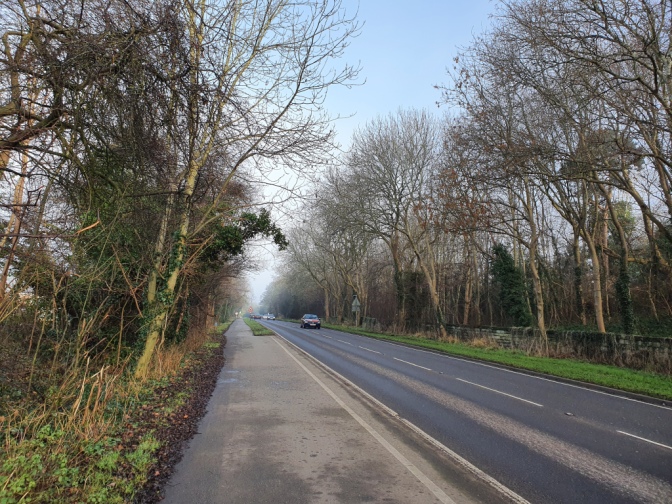
At the A429 turn left and begin walking up the hill.

In typical fashion this leads through a series of suburban houses, starting with the inter-war and generally getting more recent, as you get further from the centre of Warwick.
After several minutes walking you come to the top of a hill and start the descent.

After between 10 and 15 minutes walking you come to a roundabout.

Cross straight over and continue along the A429 on the other side. At this point you are fairly near where you will leave the main road, heading off to your left, so it makes sense to walk on the pavement on the left side.
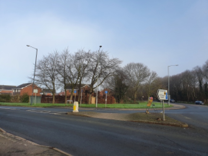
Carry on walking along the A429. Presently after a few further minutes walking you see a lane off to your left. It is waymarked with the Centenary Way.

Turn left at this point.

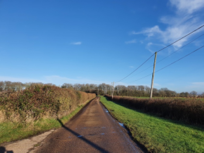
You follow the quiet lane for some distance.
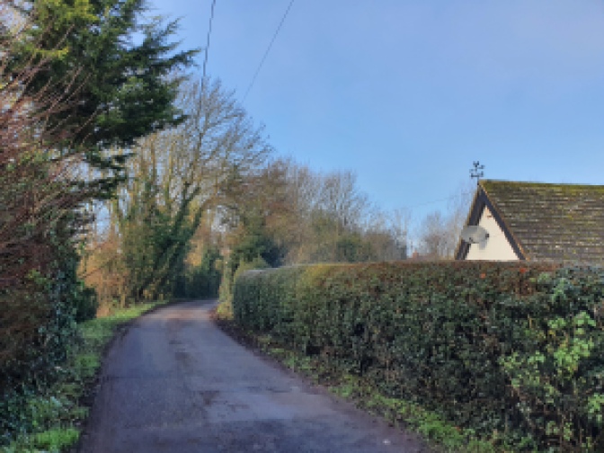
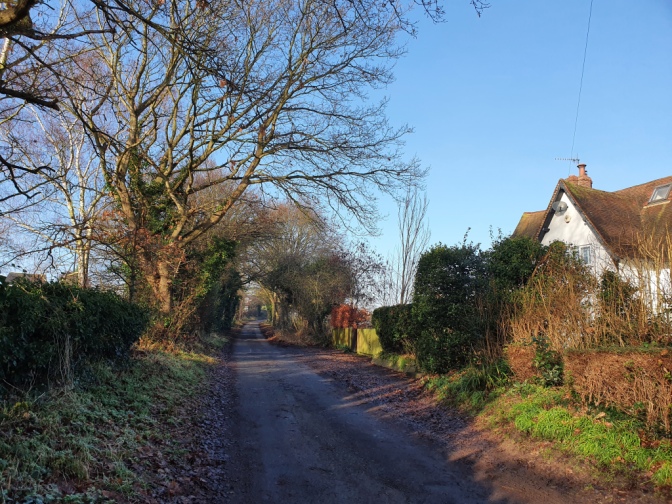
Presently you walk up a steadily sloping hill with open countryside on one side and houses on the edge of Warwick on the other.
Near the top of the hill you reach a bridge over the A46 dual carriageway.

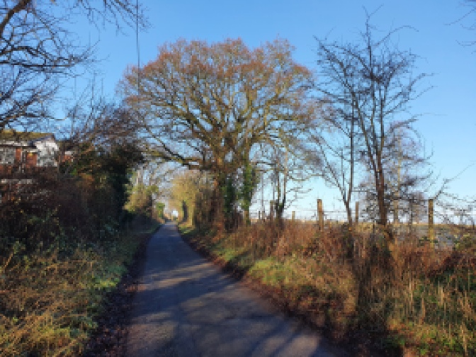
On the far side you are into open country.

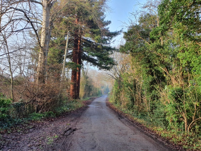
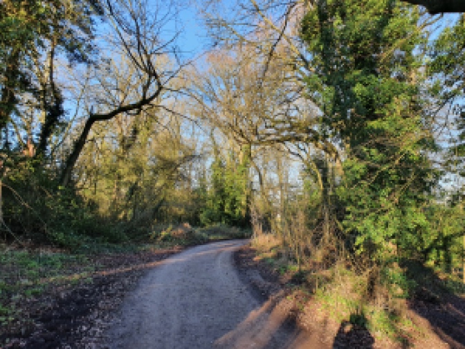
Continue down the lane into a lightly wooded section.
Soon after crossing the road the lane forks.

At this point turn left following a track towards a farmhouse waymarked with the signs of the Millenium Way and Centenary Way.

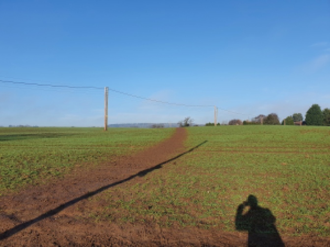
After a short distance along the track before you reach the farm, near a power line, turn right and start walking across the field. The path is pretty clear in front of you.

On the far side of the field pass through two gate posts.

Once beyond the gate posts carry on towards a thick hedgerow on the far side of the large field you are crossing.

Nearby where you are walking is situated an outdoor activity centre which has a shooting range. This was very busy with the sound of clay pigeons being flung into the air and shots being fired on the day I walked the route.
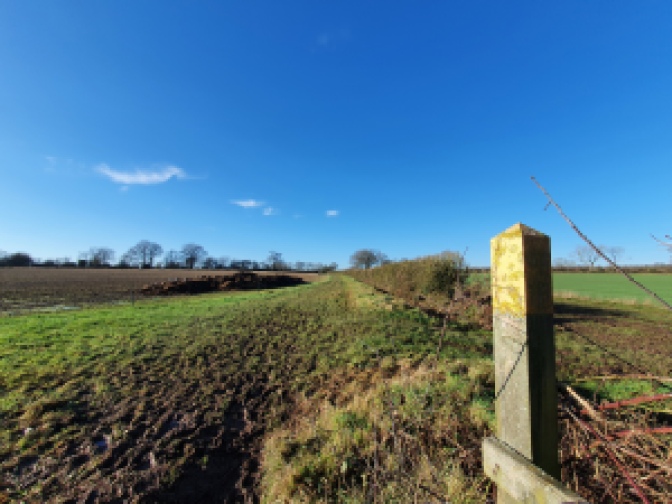
When you reach the hedgerow a metal gate will be visible.

Having passed through the gate you will find yourself on the edge of a paddock like field enclosed by a fence.

Turn left and follow the path around the edge of the field.
On the far side you take a sharp left turn.

Then shortly after the path bends to the right again.

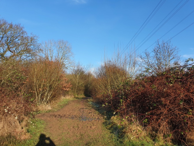
You are now walking through a section wooded with young trees and shrub.

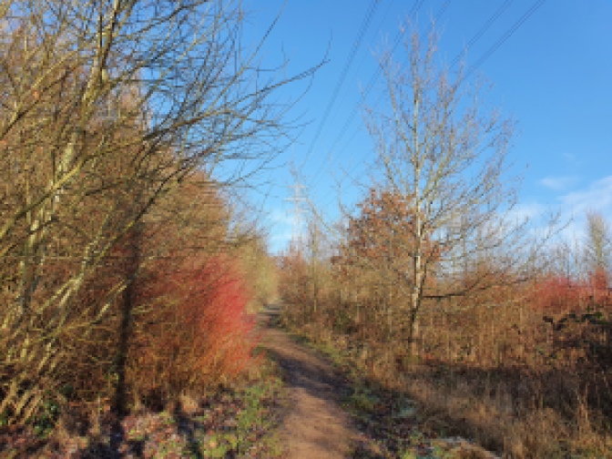
Near a tall electricity pylon the path turns left.

Heading into some more mature woodland through some undergrowth.
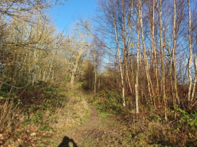
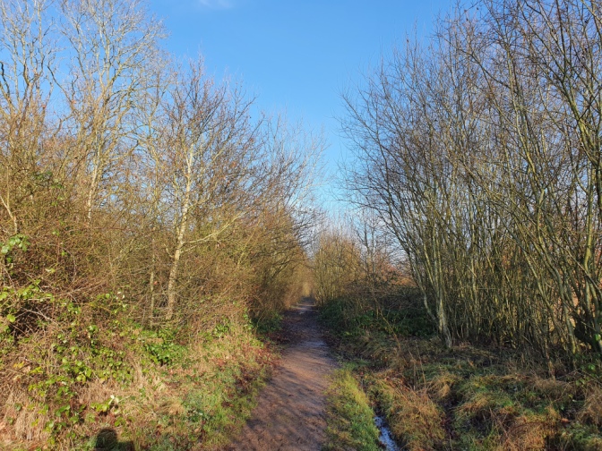
Follow the path through the more mature woodland for several minutes.

On your right side after a couple of minutes walking some pools, deep green and primaeval looking when I walked past, come into view. Their regularity suggests that they were dug by people, but for what purpose, whether fishing, some kind of quarrying, or as a defence I do not know.

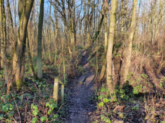
Presently you pass through a rusting fence, and past a gate which has fallen off its hinges.

At this point you enter an area with scrubbier trees once more.

On the mid-winter day I walked the route it was seriously muddy – but this section was seriously hard going.
A little way out of the established woodland you reach a junction in the path. Keep going straight, remaining on the main path at this point.

The next section was especially hard going with water on the path up to quite a high level, so I was glad of my walking boots.

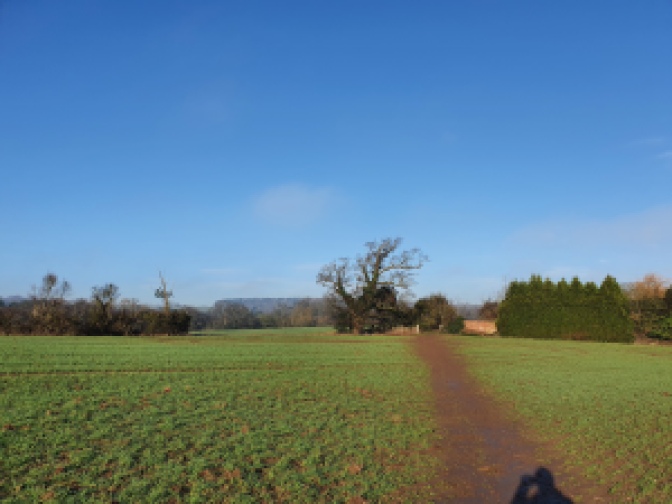
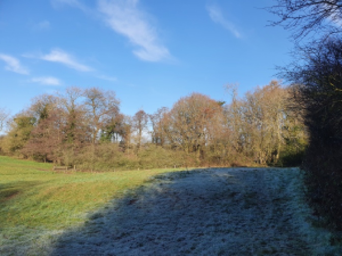
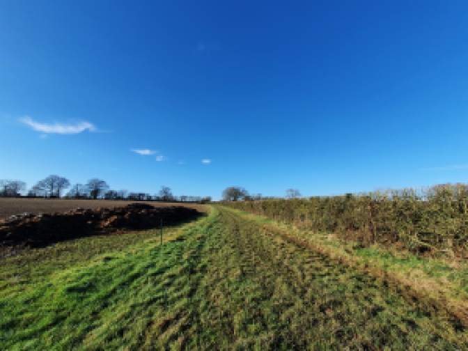
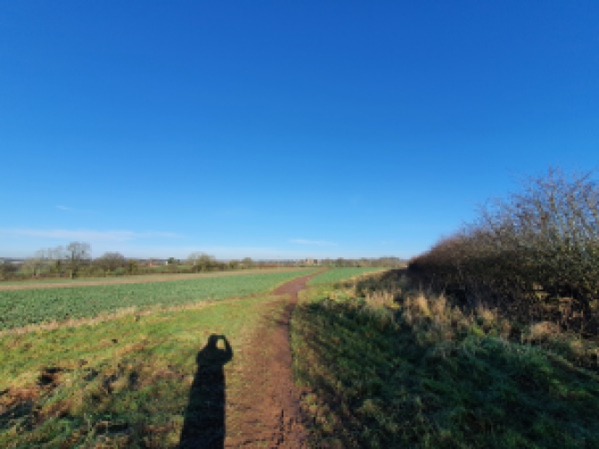
Leaving the trees completely behind you, you step out onto a large field.

Follow the path along one side of it, keeping close to the hedgerow.

Along the way you pass a small pool of water with a tree next to it, seemingly some kind of small scale wilding attempt. Apparently in spring and summer the field is home to wildflowers in places.

At the bottom of the field lies a large farmhouse, whilst screened from view behind some tall mature trees, sits the headquarters of Warwickshire Police.
Once at the bottom of the field you will find a metal gateway on your right.

On the other side walk a short way towards a copse.

Along the way you pass by a bank of earth

Just after the bank and before you reach the copse, turn to the left and walk up a short slope.

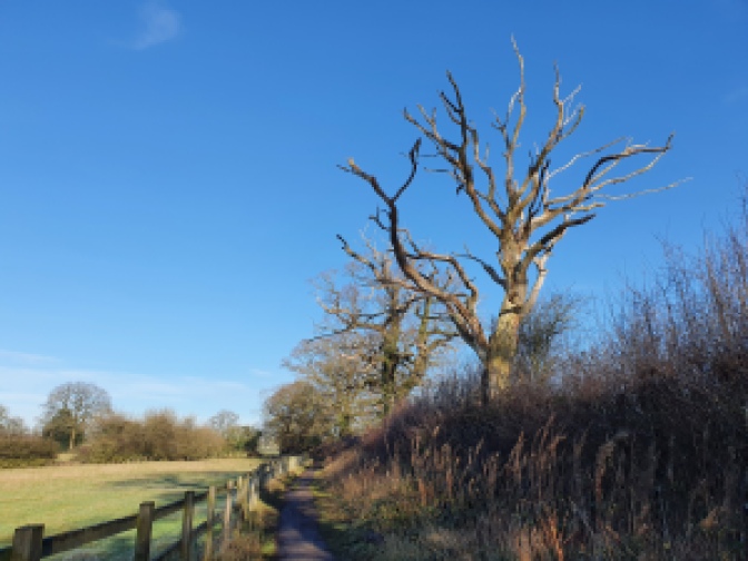
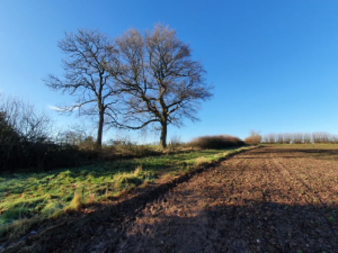
You are heading the direction of a tall old tree standing proud in a hedgerow.

There is a metal gate next to the tree.

Having walked through the gate follow the path across the field to a further gate on the other side.

Once through the gate you are standing on a farm track.

Turn right here and walk down the track for a couple of hundred metres.

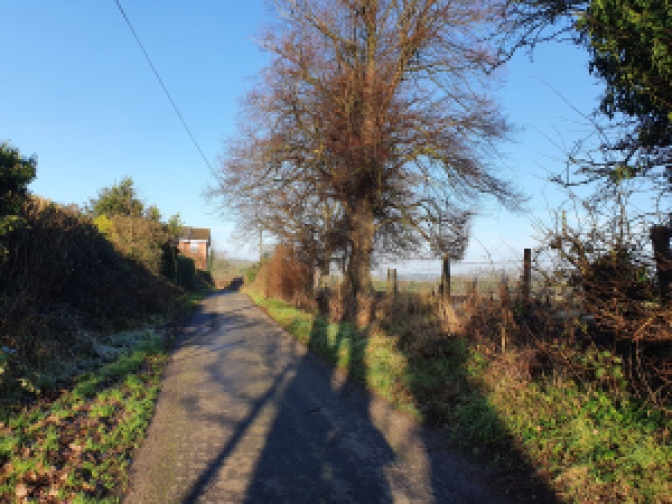
Here you find yourself standing on a public road.

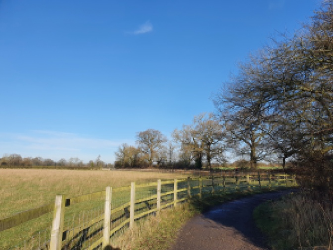
Turning right again here, you walk down a very short distance to where on the opposite side of the road there is a turning onto a path.

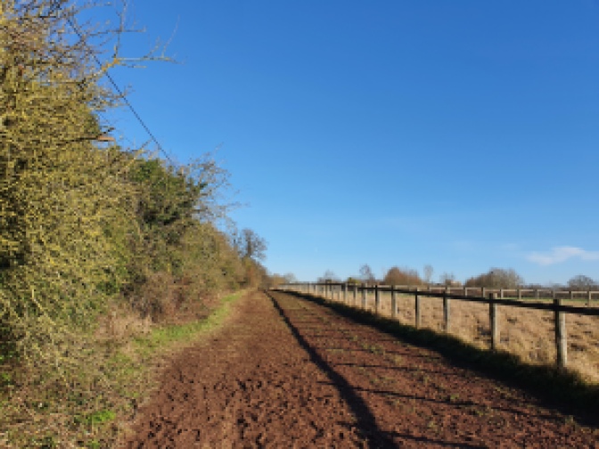
Turn down this path, which is wide and well made with a sturdy wooden fence on one side.

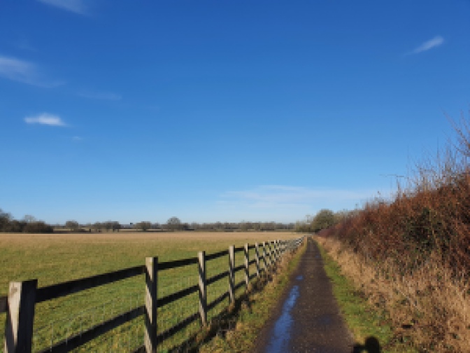
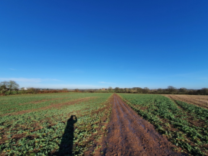
You follow this path for quite some distance across open fields.
Presently you come to a gateway.

On the other side continue across the field.

Soon you reach another gate.

At this point you have the option to carry on along the Centenary Way towards Kenilworth Castle which is very close by. It’s over another three fields, much the one you have crossed and then through a small copse.
Or alternatively you can do what I decided to do and go a slightly longer way, to get a glimpse of the castle ruins from further afield.
Prior to the Castle’s partial demolition in the 1649 there was quite a large mere bounding it one side. It served a practical purpose as a defence at one time, as well as being a source of food, whilst the Earl of Leicester made it into something of an ornamental feature, staging firework displays over it, rowing competitions and demonstrations, as well as mock battles on it. It was drained when the Castle was partially destroyed with gunpowder, and is now a low lying marshy field, however, it allows for quite imposing views across to the ruins from the other side, which I was keen to see.
As such having passed through the gate I took a hard turn to my left.

This led across the field to a brook crossed by a metal bridge.

On the other side I followed the line a hedgerow up the side of a sloping field.

Presently I passed through a waymarked gap in the hedge.

Carrying on up the adjoining field on the other side of the hedge.
At the top of the field I crossed through another gap into the next one.

Here I followed the outline of a path across the centre of the field making for a cluster of a couple of trees on the far side.

Turning right once on the other side I walked around the grassy border at the edge of the field a short distance.
By a gate in the far corner of the field I turned to my right.
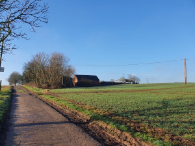
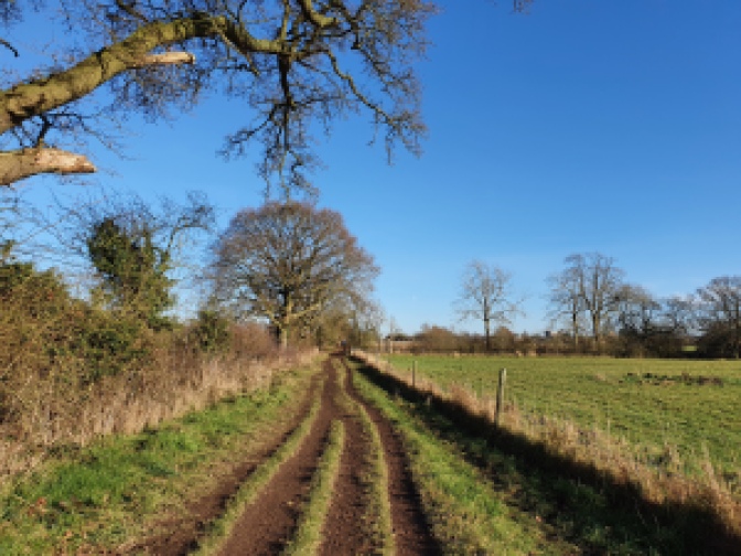
This brought me onto a wide well used track, clearly used by farm vehicles or similar.

The track took me along the other side of the field.
Presently I came to a tiny copse marking the boundary of another field, as well as the location of a small pool of water.

Through the trees I could glimpse the top of the castle.
On the other side of the field boundary, through a gap in the hedge I could get my first proper look.

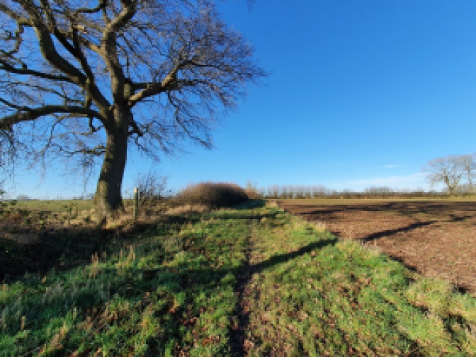
Continuing along the path I crossed part way across the top of the field following the line of the hedgerow.
After a short distance I came to a waymarked gate on my left.

Going through the gate I crossed into the adjacent field and found that I had happened upon the view I was after.


Making my way downhill across the centre of the field. I had a great side on view, of the Castle’s ruins as it would have appeared from the other side of the mere.
At the bottom of the field I passed through a gate onto a track.

Like so much of the walk this was pretty muddy.
The track was pretty long, but near dead straight.
At the far end I made my way through a metal gate onto another track.

Here I rejoined the Centenary Way.
Turning left you pass into a wooded area.

Following the track, having turned right into the trees you soon come to a lane.
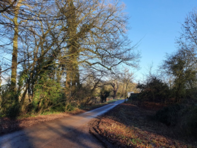
Once on the lane the castle is clearly visible through the trees on the other side of the road.

Turning right here and walking up the lane you are soon out into the car park.
Whilst just ahead of you sits a bridge leading to a causeway on which sits the 1960s vintage English Heritage ticket shop.

That concludes the walk.
Getting Back
Kenilworth Castle is situated a straightforward 10-15 minute walk from the town centre. Here from the high street with it’s distinctive clock tower frequent buses can be caught heading north to Coventry or south to Leamington and Warwick. There is also a train station located about 5 minutes walk from the high street. This opened in 2018, returning passenger trains to Kenilworth after an absence of over 50 years. The trains are not especially frequent along what is a single track line, however, if timed right it is probably the quickest and cheapest way to get up to Coventry or down to Leamington Spa. Trains heading north typically terminate at Nuneaton, whilst those running south finish at Leamington Spa.