Distance: 10.7 miles
Difficulty of the terrain: medium
Get the route via: Ordnance Survey Maps or download the GPX. file from Dropbox
Retrace the 10 mile final journey of some condemed prisoners in Warwickshire to Gibbet Hill on the edge of Coventry from the centre of Warwick where they were put to death by hanging.
The Story
The Walk
Getting Back
Hanging Around on Gibbet Hill
Nowadays, Gibbet Hill, near the equally grim sounding Cryfield and Lynchgate, is amongst the poshest parts of the generally pretty bougie southern edge of Coventry.
This status is secured amongst other things by the area’s close connections to affluent south Warwickshire, and the presence of the University of Warwick, which occupies much of both the former Cryfield Grange and Gibbet Hill. Ties enabled by the presence of a number of roads and a railway line (and one day most likely, HS2) running south towards Kenilworth, Leamington, Warwick and places further afield like Stratford-upon-Avon and the northern reaches of the Cotswolds.
Gibbet Hill, perhaps unsurprisingly, gets its name from the fact that it once held a gibbet. For the uninitiated gibbeting is a form of post-death corporal punishment. One stemming from a similar understanding of post-death punishment additional punishment of the body and its likely effects in the afterlife to the medieval sentence of hanging, drawing and quartering and the late 18th and early 19th Century sentence of the murderer’s corpse being sent for dissection by surgeons after execution. Having been hanged until dead the body of the criminal, typically murderer guilty of some other deeply heinous offence to the era’s powers that be like piracy, and in one late instance from the early 1830s sabotaging coal transport and trade unionism (as well as murder), was dipped in tar, placed in a specially made close fitting iron cage, and suspended from a gallows type structure on public display. There the body remained on display, slowly rotting, often for years, until the bones had mostly fallen out of the cage.
This grim and grisly spectacle was relatively seldom enacted even in the bleak and violent era for criminal justice that was the 18th Century. A period known as the time of the “bloody code” when there were over 200 capital offences on the statute books. Indeed, the 1752 Murder Act which defined dissection as an option for the post-death punishment of the body of murderers, was partially a means of intensifying the punishment for murder, partially a means of giving judges the option of getting away from the bloody public spectacle of gibbeting in favour of something more clinical but just as terrifying to the 18th Century mind.
Until relatively recently justice in England was highly decentralised. Major crimes were tried at periodic assizes in the county towns with judges visiting from London. In pretty much every county the site at which executions were carried out in the days and weeks after the assizes was very close to the county courthouse and prison.
Warwickshire, bizarrely, was a partial exception to this rule. While most criminals sentenced to be hung, or otherwise publicly executed, met their end in, or near to Warwick the county town, unusually some executions took place next to the old road from Warwick to Coventry. The place where this occurred being today’s Gibbet Hill, which remains right on the boundary between Warwickshire, and the territory of Coventry City Council. To this day the site, which once formed part of Stoneleigh Common is next to a roundabout, and still possesses a milestone stating that it lies three miles from the centre of Coventry and 10 miles north of Warwick.
The reasons for this are obscure. My hunch is that it may have something to do with the fact that, fairly uniquely amongst the major cities of England during the Middle Ages, Coventry, while pretty autonomous, was not a county seat (like Lincoln or York), nor did it have county status in its own right (like Bristol and London) until 1451. For this reason it made a certain kind of grim sense for the county authorities in sleepy little Warwick to sometimes send nerdowells 10 miles north to Gibbet Hill on the edge of large, often restive, Coventry’s domain for them to meet their end.
Of course, in common with other execution sites across the country Gibbet Hill was not historically called Gibbet Hill, rather it was known as Gallows Hill. It is marked as such on maps from the 16th Century and referred to from time-to-time in the documentary record going back to the Middle Ages, showing its antiquity as a place of execution.
The location’s current name Gibbet Hill appears to have been acquired in the years immediately after a 1765 murder near Berkswell. One night during that year, three men Edward Drury, Robert Leslie and Moses Baker, noted in the rural area south west of Coventry for being thugs and ruffians, attacked a group of three other men while they were making their way in the darkness across the countryside. The men assaulted were local farmers who had been selling produce at Coventry market and were returning home with the money they had gained selling produce. It is most likely that the motive for the attack was robbery, though a random and unprovoked attack is also a possibility. Two of the farmers escaped the assault with only minor injuries and escaped making it safely to Berkswell, however, the third member of the party Thomas Edwards was so badly beaten that he died three days later.
Shortly after the assaults Drury, Leslie and Baker were apprehended and sent to the county prison at Warwick to stand trial at the next assizes for murder. It was an open and shut case as the two surviving members of the party were happy to testify that they had attacked them and killed their friend. And Drury, Leslie and Baker did not help their case by being rowdy in court and shouting threats of further violence at the witnesses, judge and jurors.
Upon sentencing the judge decided to condemn the men to die on Gallows Hill and opted to have their bodies gibbeted on the site as opposed to being sent for dissection.
Following the execution and the gibbeting of Drury, Leslie and Baker’s corpses they remained tethered to the gallows on Gibbet Hill for 45 years, the remains of the iron cages and any bones they still contained only being removed in 1810. The gibbet itself is recorded as still standing in 1822, although it was removed shortly afterwards, with the timbers being turned into macabre curios and keepsakes. By that time the location’s long standing reputation as the site of such a grisly display, meant that the old name of Gallows Hill had been overridden in local people’s minds becoming today’s Gibbet Hill instead.
There are a number of ghostly tales associated with the death, misery and official brutality meted out on Gibbets Hill. One rather earthy story relates to an incident shortly after the execution and begins with a group of friends in a tavern in either Coventry, Kenilworth, or one of the villages lying between them. Partway through the evening for a bet one of the drinkers agreed to make his way in the dark up to gibbet by the crossroads and ask the silhouettes of the caged, dangling corpses how they were getting on. Upon reaching the site he called out his question, a voice came back “very wet and cold”. No doubt the brave drinker screamed. However, it was just one of his friends who had raced from the pub the hide in the bushes and scare him.
Today the spooky stories continue. But who knows? Today’s after dark frequenters of the site are likely to be denizens of the University of Warwick’s campus stumbling off a late bus two stops early after a night out in Leamington Spa. So who is to say how reliable the evidence of their senses are? But there again the stories do keep coming…
The Walk
Get the Route: via Ordnance Surveys Maps or download the GPX. file from Dropbox
This walk was created using Ordnance Survey Explorer. To subscribe and also get Ordnance Survey Maps on your phone, click the banner above.
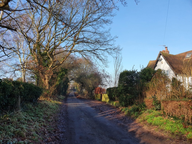
Arriving at Warwick Railway Station, if you alight from the train on the southbound platform having come in the direction of Birmingham then walk down the flight of steps located in the centre of the platform. If you have come from the direction of Leamington Spa, and are on the northbound platform then a subway located near the ticket office will allow you to walk to the side of the station where this walk north to Gibbet Hill begins.

From the exit of the southbound platform turn right.
This leads down a back lane running between the railway embankment and some houses.

Presently this leads out onto the A429. If you have not come by train then you can pick the walk up from this point by the railway bridge which carries trains over the road.

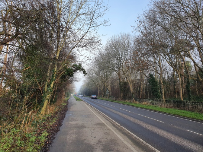
At the A429 turn left and begin walking up the hill.

In typical fashion this leads through a series of suburban houses, starting with the inter-war and generally getting more recent, as you get further from the centre of Warwick.
After several minutes walking you come to the top of a hill and start the descent.

After between 10 and 15 minutes walking you come to a roundabout.

Cross straight over and continue along the A429 on the other side. At this point you are fairly near where you will leave the main road, heading off to your left, so it makes sense to walk on the pavement on the left side.
Carry on walking along the A429. Presently after a few further minutes walking you see a lane off to your left. It is waymarked with the Centenary Way.

Turn left at this point.

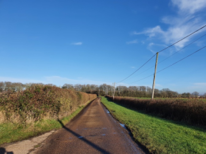
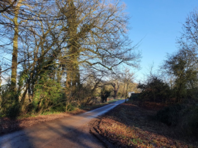
You follow the quiet lane for some distance.
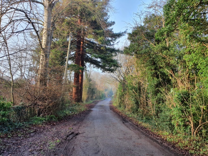
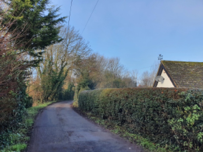
Presently you walk up a steadily sloping hill with open countryside on one side and houses on the edge of Warwick on the other.
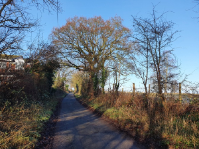
Near the top of the hill you reach a bridge over the A46 dual carriageway.

On the far side you are into open country.

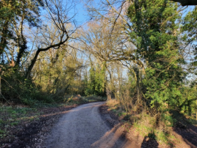
Continue down the lane into a lightly wooded section.
Soon after crossing the road the lane forks.

At this point turn left following a track towards a farmhouse waymarked with the signs of the Millenium Way and Centenary Way.

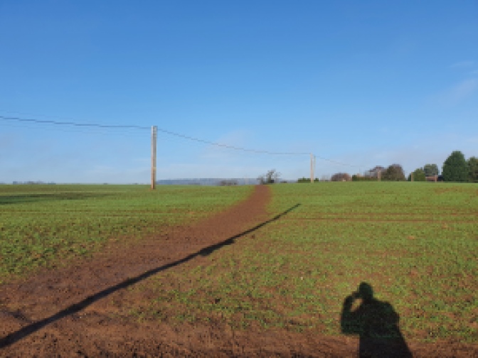
After a short distance along the track before you reach the farm, near a power line, turn right and start walking across the field. The path is pretty clear in front of you.

On the far side of the field pass through two gate posts.

Once beyond the gate posts carry on towards a thick hedgerow on the far side of the large field you are crossing.

Nearby where you are walking is situated an outdoor activity centre which has a shooting range. This was very busy with the sound of clay pigeons being flung into the air and shots being fired on the day I walked the route.
When you reach the hedgerow a metal gate will be visible.

Having passed through the gate you will find yourself on the edge of a paddock like field enclosed by a fence.

Turn left and follow the path around the edge of the field.
On the far side you take a sharp left turn.

Then shortly after the path bends to the right again.

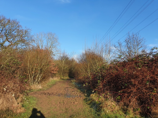
You are now walking through a section wooded with young trees and shrub.

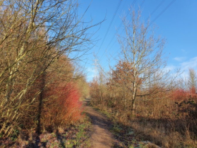
Near a tall electricity pylon the path turns left.

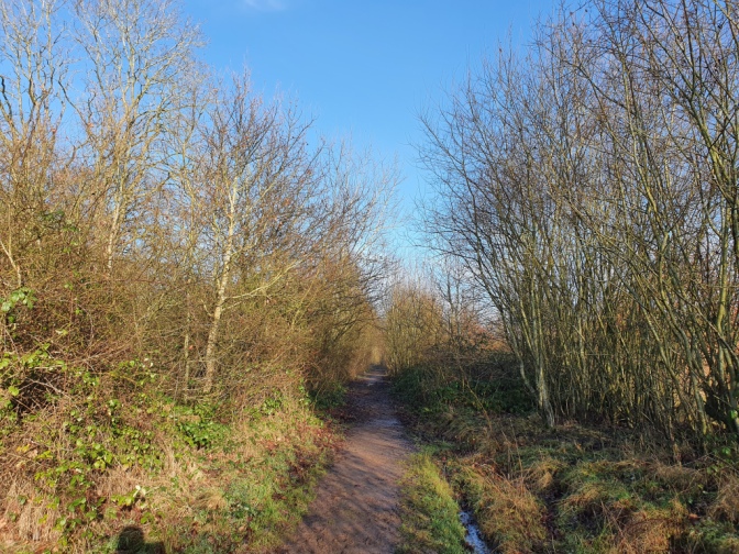
Heading into some more mature woodland through some undergrowth.
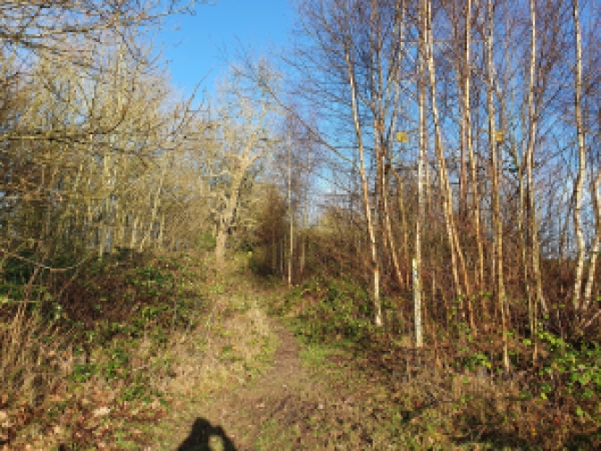
Follow the path through the more mature woodland for several minutes.

On your right side after a couple of minutes walking some pools, deep green and primaeval looking when I walked past, come into view. Their regularity suggests that they were dug by people, but for what purpose, whether fishing, some kind of quarrying, or as a defence I do not know.

Presently you pass through a rusting fence, and past a gate which has fallen off its hinges.

At this point you enter an area with scrubbier trees once more.

On the mid-winter day I walked the route it was seriously muddy – but this section was seriously hard going.
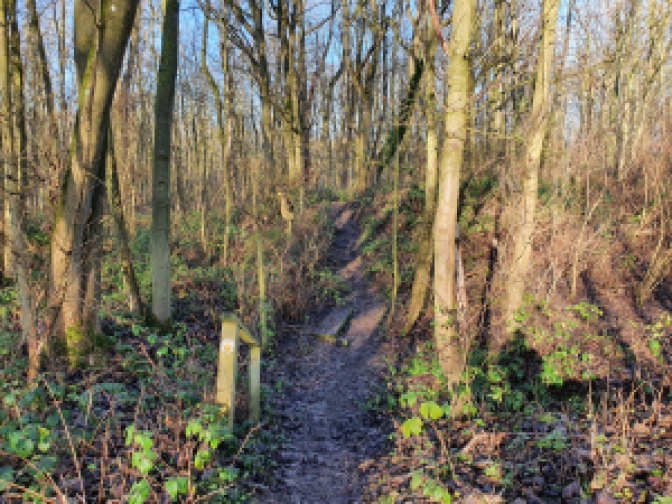
A little way out of the established woodland you reach a junction in the path. Keep going straight, remaining on the main path at this point.

The next section was especially hard going with water on the path up to quite a high level, so I was glad of my walking boots.

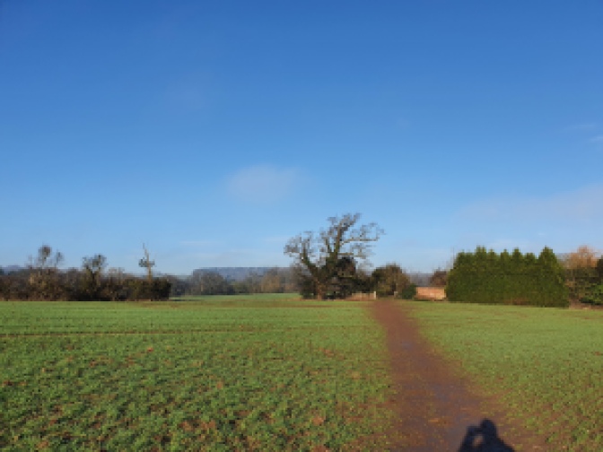
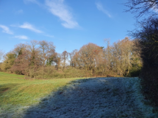
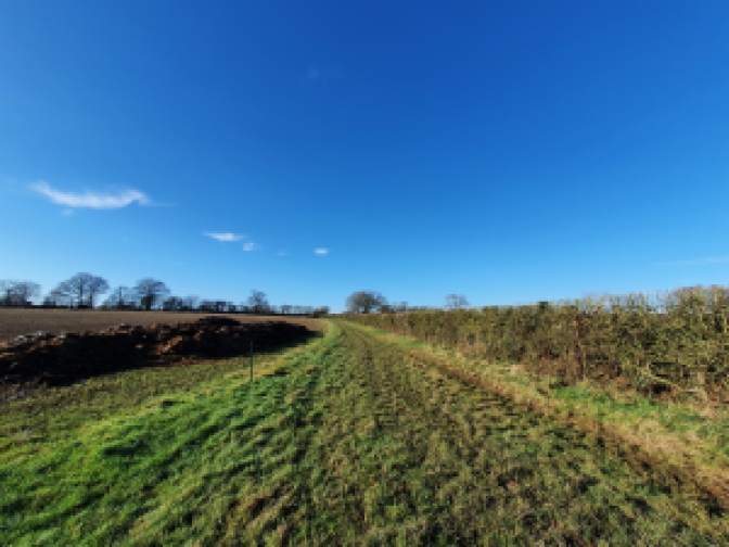
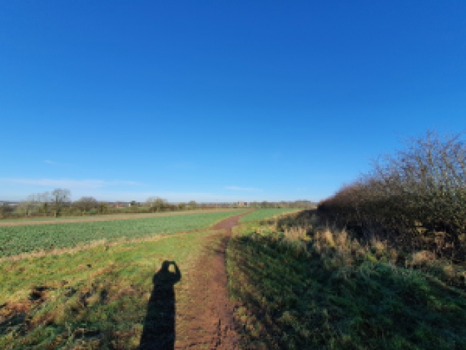
Leaving the trees completely behind you, you step out onto a large field.

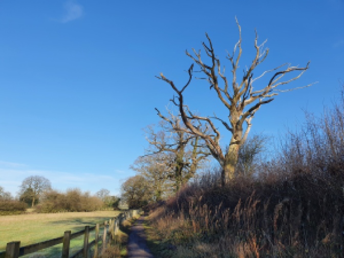
Follow the path along one side of it, keeping close to the hedgerow.

Along the way you pass a small pool of water with a tree next to it, seemingly some kind of small scale wilding attempt. Apparently in spring and summer the field is home to wildflowers in places.

At the bottom of the field lies a large farmhouse, whilst screened from view behind some tall mature trees, sits the headquarters of Warwickshire Police.
Once at the bottom of the field you will find a metal gateway on your right.

On the other side walk a short way towards a copse.

Along the way you pass by a bank of earth

Just after the bank and before you reach the copse, turn to the left and walk up a short slope.

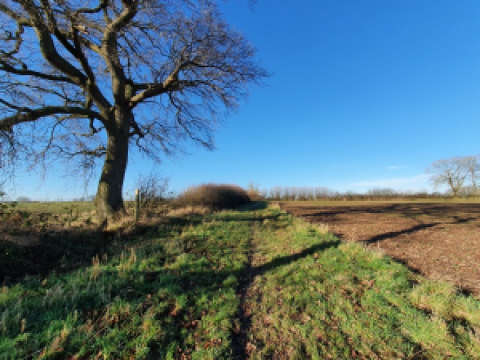
You are heading the direction of a tall old tree standing proud in a hedgerow.

There is a metal gate next to the tree.

Having walked through the gate follow the path across the field to a further gate on the other side.

Once through the gate you are standing on a farm track.

Turn right here and walk down the track for a couple of hundred metres.

Here you find yourself standing on a public road.

Turning right again here, you walk down a very short distance to where on the opposite side of the road there is a turning onto a path.

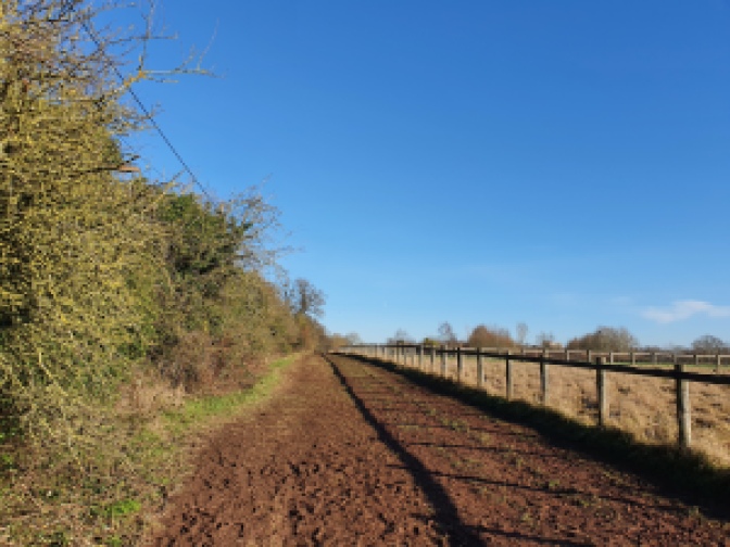
Turn down this path, which is wide and well made with a sturdy wooden fence on one side.

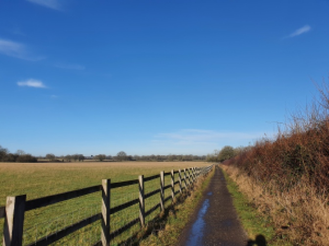
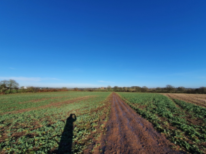
You follow this path for quite some distance across open fields.
Presently you come to a gateway.

On the other side continue across the field.

Soon you reach another gate.

At this point you have the option to carry on along the Centenary Way towards Kenilworth Castle which is very close by. It’s over another three fields, much the one you have crossed and then through a small copse.
Or alternatively you can do what I decided to do and go a slightly longer way, to get a glimpse of the castle ruins from further afield.
Prior to the Castle’s partial demolition in the 1649 there was quite a large mere bounding it one side. It served a practical purpose as a defence at one time, as well as being a source of food, whilst the Earl of Leicester made it into something of an ornamental feature, staging firework displays over it, rowing competitions and demonstrations, as well as mock battles on it. It was drained when the Castle was partially destroyed with gunpowder, and is now a low lying marshy field, however, it allows for quite imposing views across to the ruins from the other side, which I was keen to see.
As such having passed through the gate I took a hard turn to my left.

This led across the field to a brook crossed by a metal bridge.

On the other side I followed the line a hedgerow up the side of a sloping field.

Presently I passed through a waymarked gap in the hedge.

Carrying on up the adjoining field on the other side of the hedge.
At the top of the field I crossed through another gap into the next one.

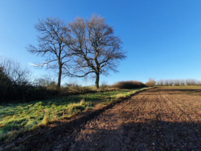
Here I followed the outline of a path across the centre of the field making for a cluster of a couple of trees on the far side.

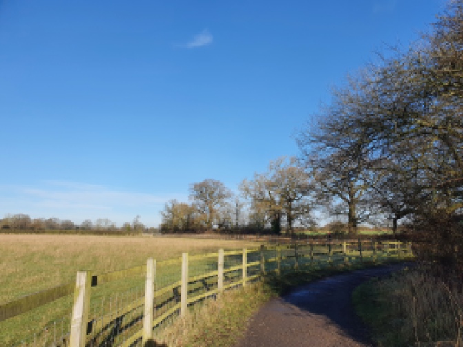
Turning right once on the other side I walked around the grassy border at the edge of the field a short distance.
By a gate in the far corner of the field I turned to my right.
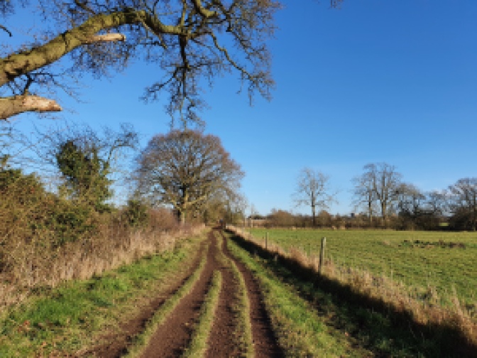
This brought me onto a wide well used track, clearly used by farm vehicles or similar.

The track took me along the other side of the field.
Presently I came to a tiny copse marking the boundary of another field, as well as the location of a small pool of water.

Through the trees I could glimpse the top of the castle.
On the other side of the field boundary, through a gap in the hedge I could get my first proper look.

Continuing along the path I crossed part way across the top of the field following the line of the hedgerow.
After a short distance I came to a waymarked gate on my left.

Going through the gate I crossed into the adjacent field and found that I had happened upon the view I was after.


Making my way downhill across the centre of the field. I had a great side on view, of the Castle’s ruins as it would have appeared from the other side of the mere.
At the bottom of the field I passed through a gate onto a track.

Like so much of the walk this was pretty muddy.
The track was pretty long, but near dead straight.
At the far end I made my way through a metal gate onto another track.

Here I rejoined the Centenary Way.
Turning left you pass into a wooded area.

Following the track, having turned right into the trees you soon come to a lane.
Once on the lane the castle is clearly visible through the trees on the other side of the road.

Turning right here and walking up the lane you are soon out into the car park.
Once in the castle car park turn right and walk until you reach the exit out onto the main road.
Upon reaching the road running down hill past for the castle ruin turn left and keep on walking straight down the road ahead of you, running downhill.


At the bottom of the hill you come to a bridge.

On the far side of the bridge turn right and enter the Abbey Fields park.

Follow the path to the right, then straight as it runs past a lake.


Once past the lake keep walking straight ahead along a desire line type path across grass.


You soon come to a gap in a wall beyond.
Having passed through the wall cross the grass heading around some children’s play equipment and passing some of the ruins of the former Kenilworth Abbey.


Follow a path heading left towards a church.


Just prior to reaching it, turn right and walk down a tree lined path towards the road beyond.


Once at the road, cross over to the far side.

Then head to the right for a short distance.


Presently on your left you come to a path leading through trees, beside a stream.


Head left on this path and follow it for some distance as it weaves along beside the stream and next to estates of houses constructed in the last quarter of a century or so.


After some distance you come to a road with a row of Victorian terraces opposite.


Here, turn left and walk a short distance.
Soon opposite you, you see a road with more terraces on it.

Cross the road and head down here.


Quickly it turns into a car free path for walkers and push bike cyclists.
Then you reach another main road.

Turn left here and walk along the pavement a short distance.
Coming to a side road on your left turn down it.


Then right.

At the bottom of the road you come to a metal bridge leading across a stream into woodland.
Cross the bridge and head into the woodland.


Soon you come to a junction. Here keep on right remaining on the paved path.

After a short distance the path heads to the left following the railway line linking Kenilworth and Leamington Spa to Coventry.


This is before the path branches off following the line of a disused railway.


On the other side of the bridge continue a short distance further along the straight former railway line path.


Presently on your right there is a signpost pointing out into open fields. The signpost points towards the University of Warwick.

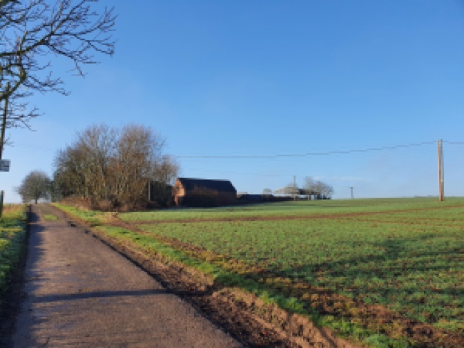
Follow the path as it runs across fields.


At the time of writing there was a slight diversion on the route, albeit it very clear to follow, to the left around the earthworks for HS2.


Presumably the exact location of the diversion will change over the course of the works between now and whenever the railway is finished (probably not 2026 as planned…). But it is good to see that HS2 are putting a fair bit of effort into keeping the path open.
Once you have passed through the HS2 diversion the tops of buildings on the University of Warwick campus are very visible on the horizon.
Follow the path as it runs across fields, wild flower meadows and hedgerows.


Soon you come to a quiet country lane which marks the boundary between farmland and the University of Warwick’s campus.

Follow the path for a short distance on the far side.


You reach a wooden bridge and on the far side of the bridge there is the University’s sports pitches.

Follow the path around and up a slightly sloping hill with sports pitches on either side.


At the top by a sports pavilion turn left onto a road.


Walk along the side of the road for a short distance heading left.


Upon reaching a crossing point crossover, then keep heading left.

Soon on your right there is a gap onto a lane.

Head right through this gap and walk past a gate onto a green lane type path lined with hedgerows.


This comes out onto a meadow, which you cross.


On your left stand a pair of oxidised dinosaur sculptures, part of the campus art collection, which were created – believe it or not – by the Chapman Brothers.


Keep on walking around the edge of the meadow.
At the far side you reach a path, which you keep on the left hand fork of.


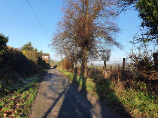
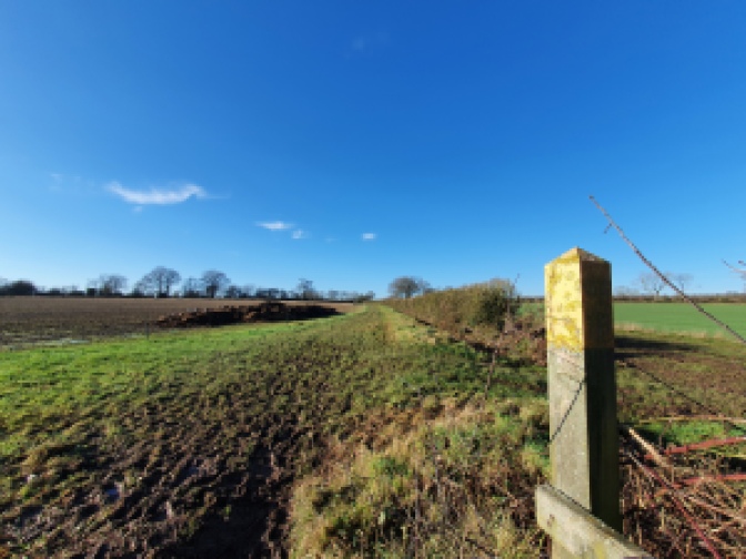
Upon reaching the main road through the University of Warwick campus opposite the Social Sciences Building turn right. The road is called Gibbet Hill Road, a sign that you are on the right track.


Continue along the road past Warwick Arts Centre and the bus interchange, passing the Piazza area with the Rootes Building and Students’ Union, and past a series of halls of residence, some from the mid-1960s, others very modern.


Keep on the road, walking through the wooded part of the campus towards the Medical School site.


Past the Medical School keep on up Gibbet Hill Road passing a series of houses.


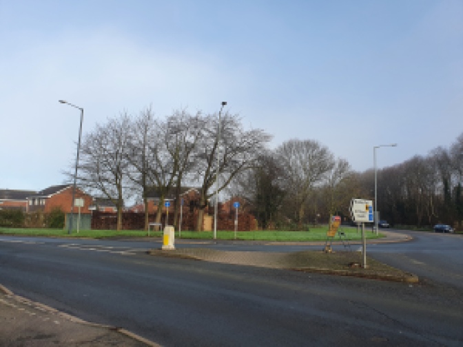
Past the houses you approach the roundabout. This is near the site of the old Warwickshire gallow and where the corpses of the murderers Edward Drury, Robert Leslie and Moses Baker were hung and gibbeted in 1765, remaining there for nearly half a century.


This is where the walk ends.
Getting Back
As roundabouts go, Gibbets Hill is brilliantly served by buses. At the time of writing in October 2023 there were very frequent services to Coventry throughout the day offered by the X12 and X17 buses, as well as the U buses (in University of Warwick term time towards Leamington and Warwick), the 11 and X17 towards Leamington Spa via Kenilworth making it easy to get to a railway station after having completed the walk.